Ecuador from above
AIRVŪZ STAFF NOTE :
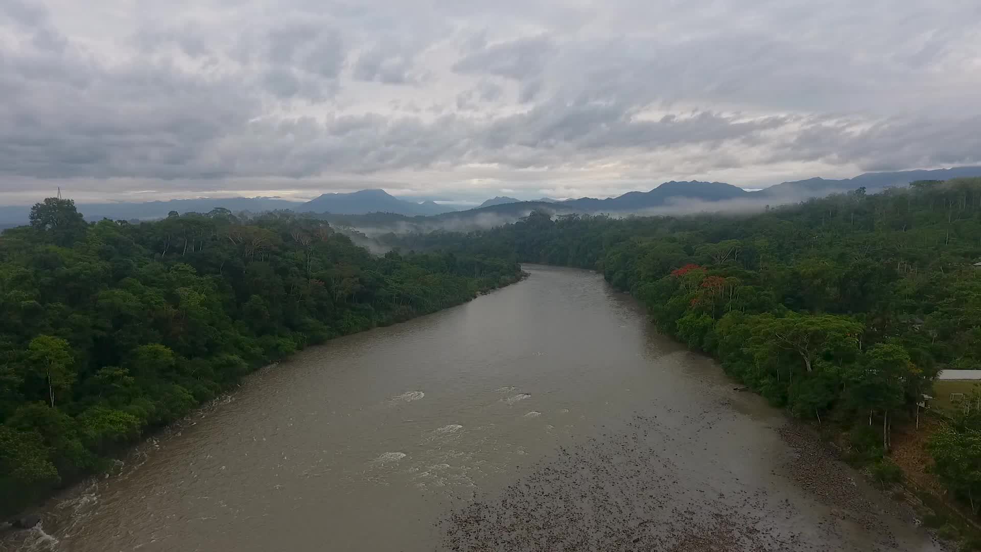
Contributor and drone pilot created this excellent aerial collage from the South American nation of Ecuador. Most of the video was shot in and around the city of Quito. The country's capital and most populous city, Quito lies on a plateau of the Andes Mountains range. It's situated in the north-central part of the country. Considered one of the world's best-preserved historical cities, Quito's old town was one of the first UNESCO World Heritage sites. The city has a base elevation of 2.9k meters (about 9.3k ft.) above sea level.
- about 8 years ago
- 2.0k VŪZ
12 


- 14
- Report

BADGES THIS VIDEO HAS EARNED:


a fast view of ecuadorian landscapes
Up Next
Autoplay
RIBERA DEL RIO APAQUÍ

- Jorge Suárez
- 2.4k VŪZ
23 - 24
- about 9 years ago
LAGUNA DE CUICOCHA
- Jorge Suárez
- 1.5k VŪZ
21 - 13
- about 9 years ago
LUGARES DE LA PROVINCIA DEL CARCHI
- Jorge Suárez
- 723 VŪZ
9 - 10
- about 9 years ago
YANAURCO PEAK: CAJAS NATIONAL PARK INSIGNIA

- QUILICO DRONES
- 1.2k VŪZ
19 - 14
- about 9 years ago
Pasochoa from the highs

- sebasutreras96
- 1.0k VŪZ
8 - 14
- about 6 years ago
SENTIR
- Jorge Suárez
- 1.2k VŪZ
14 - 18
- about 9 years ago
LAGO SAN PABLO ECUADOR
- Jorge Suárez
- 1.6k VŪZ
17 - 14
- about 9 years ago
IBARRA CIUDAD BLANCA
- Jorge Suárez
- 1.9k VŪZ
18 - 15
- about 9 years ago
CAÑÓN DEL RIO TAHUANDO
- Jorge Suárez
- 1.8k VŪZ
25 - 22
- about 9 years ago
ENTRE ÁRBOLES - SELVA DEL ECUADOR

- Marcelo Bastidas
- 2.6k VŪZ
35 - 33
- about 7 years ago