Gökçeada Trip
AIRVŪZ STAFF NOTE :
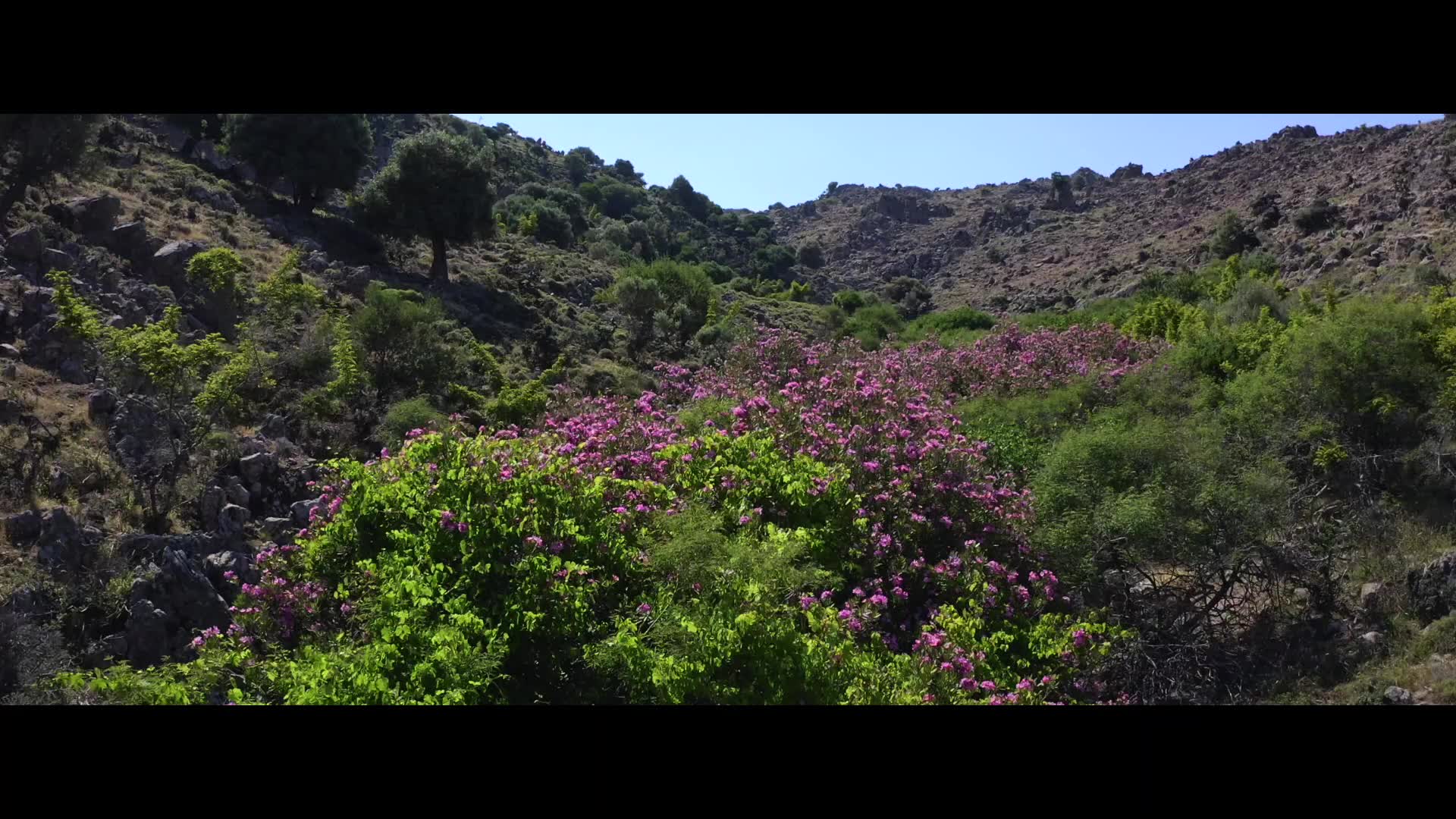
Contributor and drone pilot tntrmedia created this beautiful aerial video of Turkey's largest island. It's called Gökçeada, and it is situated in the Aegean Sea, just northwest of the opening of the Dardanelles Strait. It's part of the Çanakkale Province, which in turn is part of the West Marmara region that covers much of the northwestern part of the country. The island covers about 280 square km (around 110 square mi.). It's one of the few Turkish-controlled Aegean islands; most are Greek territories.
- about 7 years ago
- 1.0k VŪZ
15 


- 11
- Report
BADGES THIS VIDEO HAS EARNED:

Gökçeada / Çanakkale / Turkey
Up Next
Autoplay
Gölyazı Island - Aerial
- tntrmedia
- 898 VŪZ
18 - 12
- over 7 years ago
Cappadocia
- tntrmedia
- 2.1k VŪZ
18 - 15
- over 3 years ago
Yavuz Sultan Selim Bridge / Turkey
- tntrmedia
- 1.6k VŪZ
27 - 12
- almost 9 years ago
Kabak Bay - Turkey
- tntrmedia
- 635 VŪZ
8 - 7
- almost 4 years ago
East & Bull
- tntrmedia
- 522 VŪZ
3 - 2
- almost 5 years ago
Maersk Klaipeda | Bosphorus
- tntrmedia
- 612 VŪZ
21 - 11
- over 8 years ago
Sisli Vadi - Cinematic
- tntrmedia
- 1.3k VŪZ
32 - 19
- over 8 years ago
Istanbul Cinematic
- tntrmedia
- 1.4k VŪZ
18 - 15
- almost 7 years ago
Bosphorus Bridge / Istanbul - Turkey
- tntrmedia
- 1.7k VŪZ
22 - 13
- almost 9 years ago